A lovely day for a visit to Garstang, Lancashire. The old main street has a collection of independent stores although there’s been some turn over in the period since Covid.
It isn’t hard to get into the country from Garstang. Walking east from the main street, called High Street, over High Street car park or at the other end of town going via Greenhalgh Castle.
This walk is from Cherestanc Square, outside Booths, to the M6, about 2 miles. Such a walk is easy going. Continuing beyond there would become more arduous. There are a lot of photos.
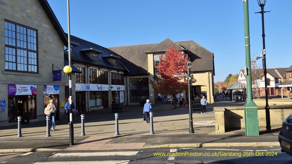
Across the Zebra into Stoops Hall Weind which has a few shops.
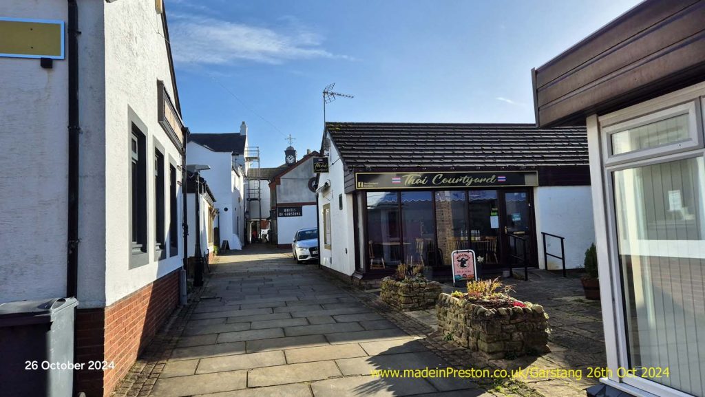
Into High Street.
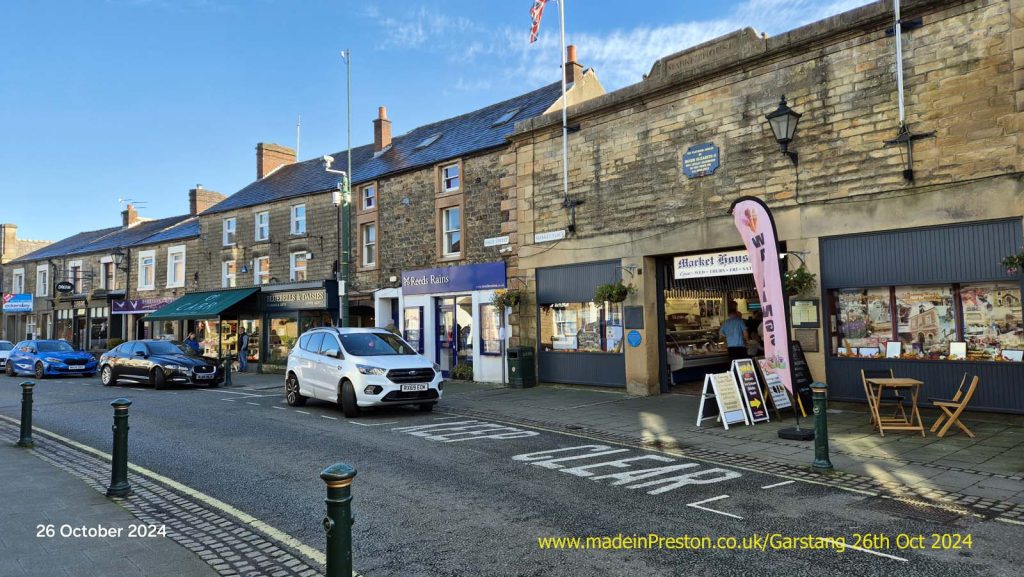
Right is the Market Square. The Street Market is on Thursday.
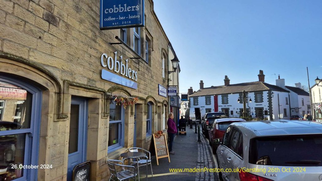
The War Memorial and Market Square.
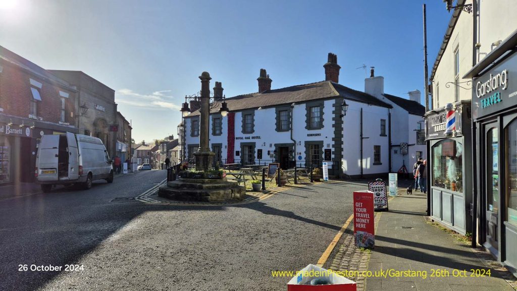
The former Town Hall.
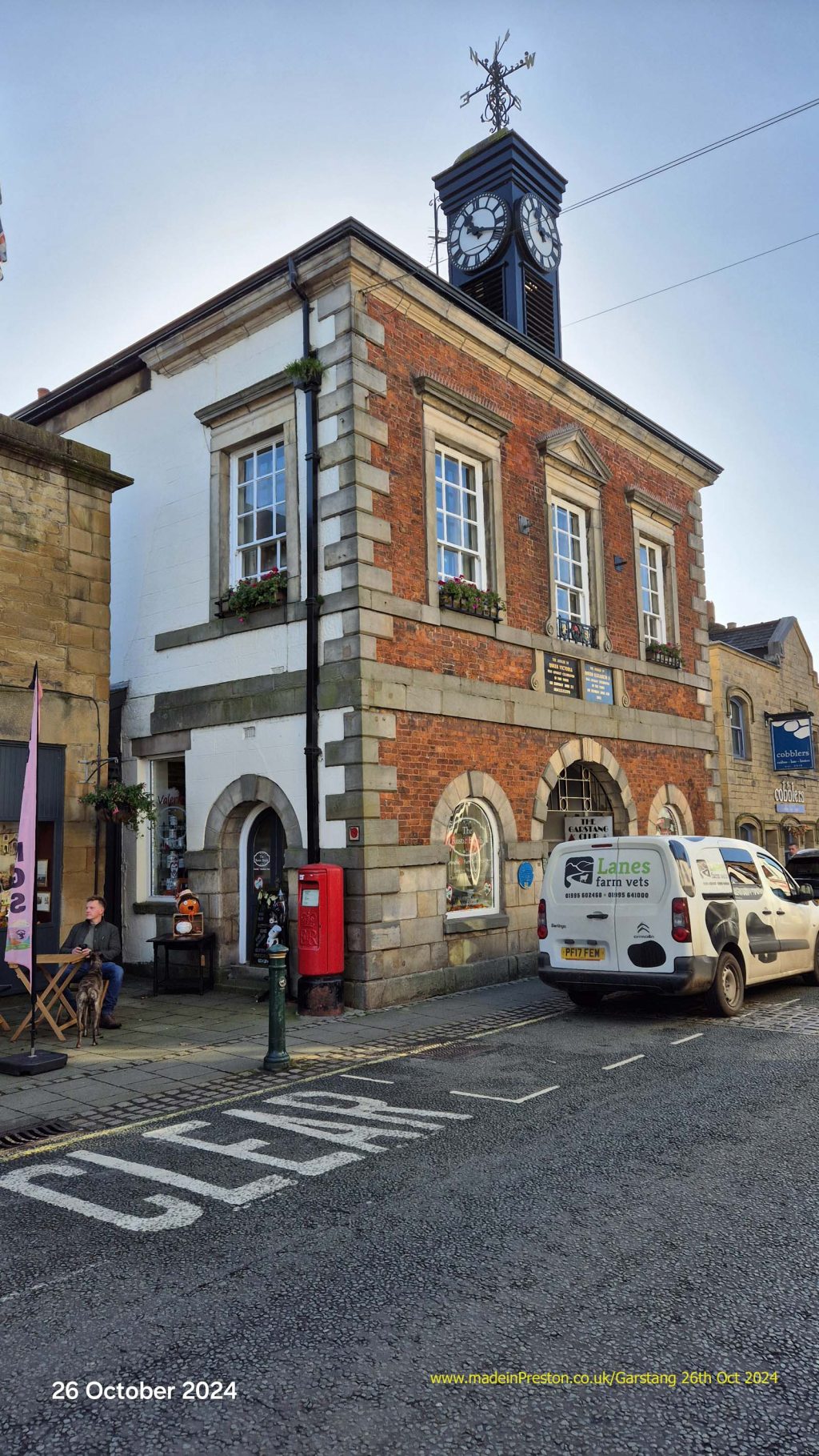
If you turn left coming out of the alley.
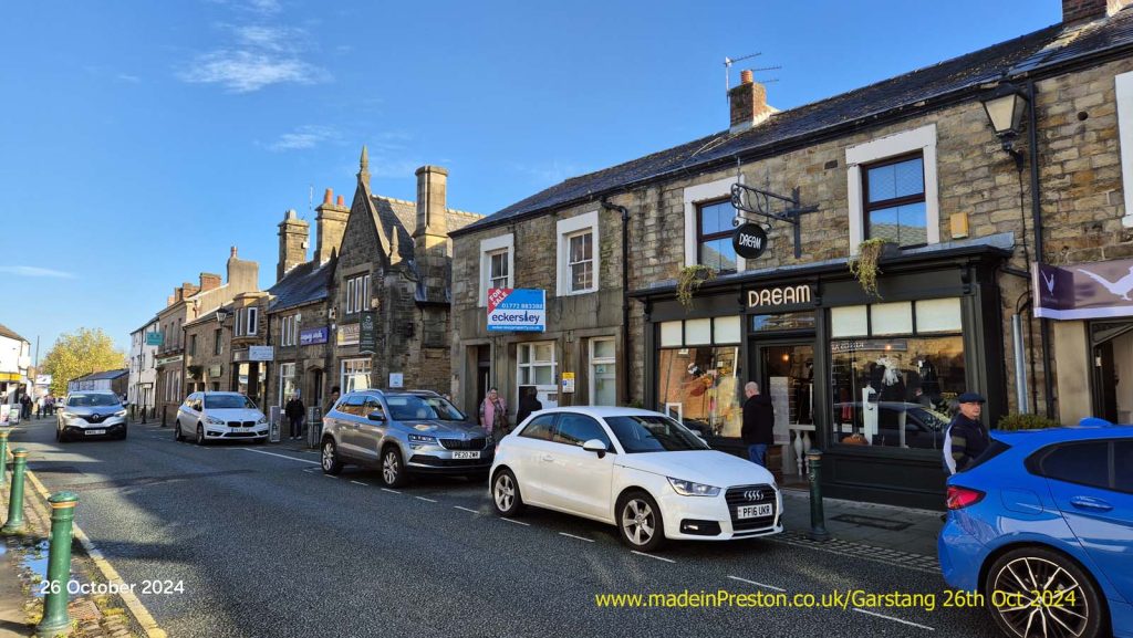
For many years the black verandah was Singleton’s known for Pork Pies.
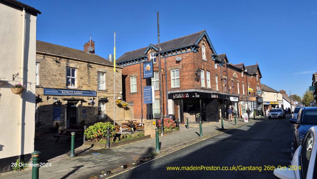
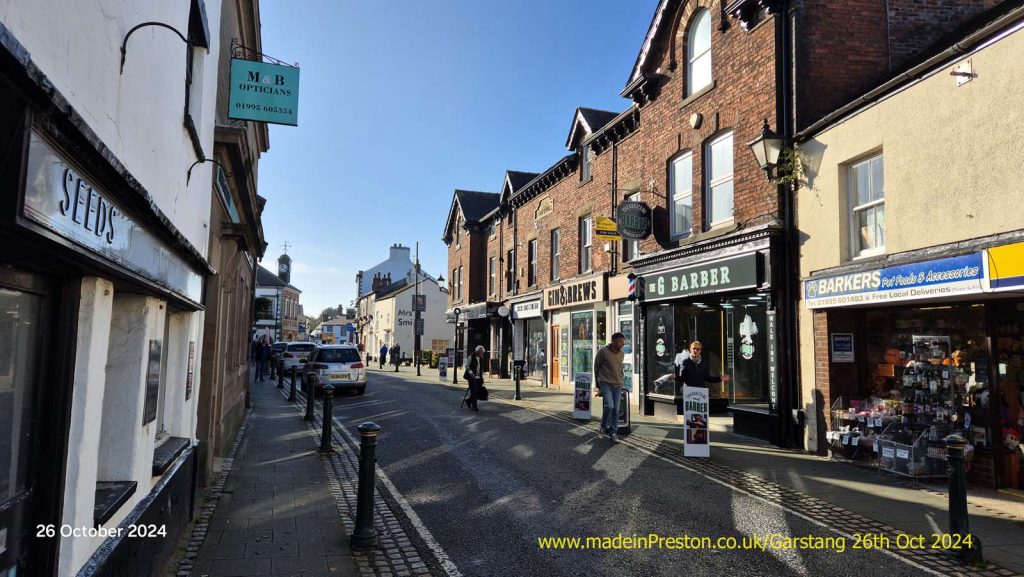
The old Grammar School, now an Art Centre with a little cafe.
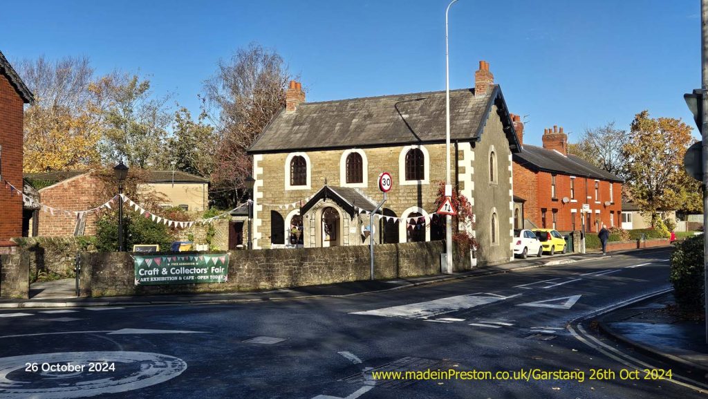
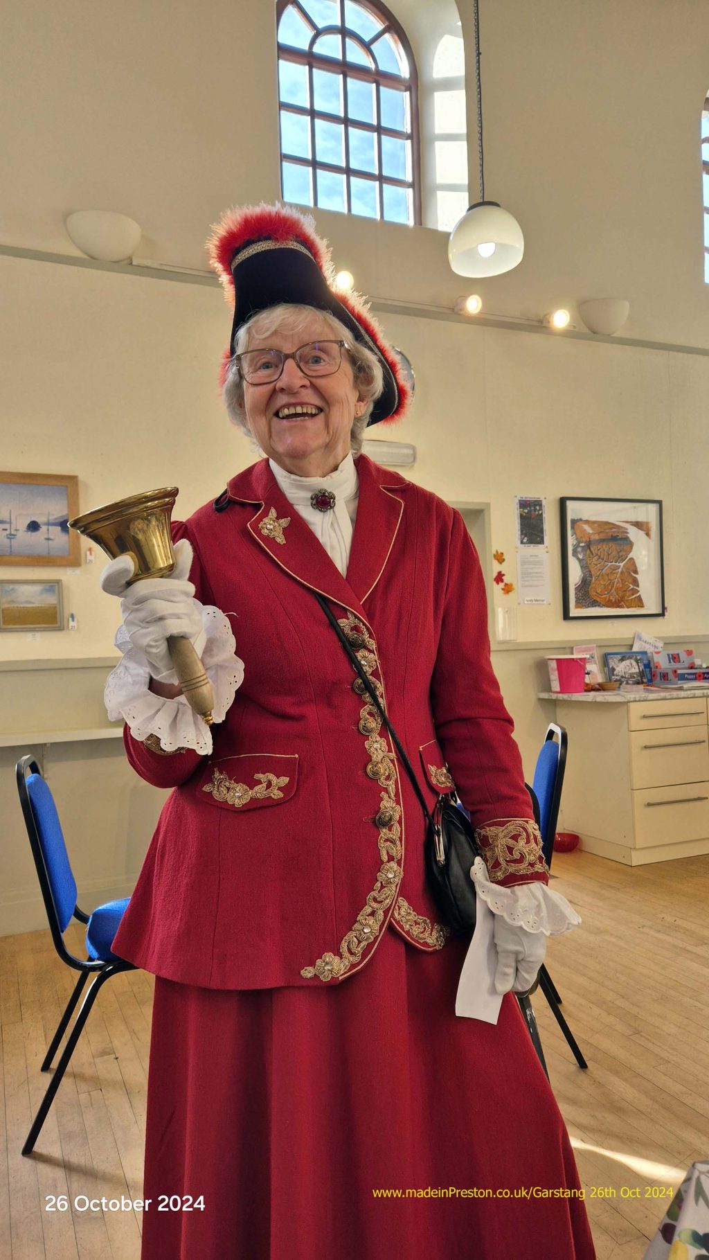
Garstang Town Crier inside the Art Centre cafe. This lady has been enthusiastically performing the role for many years.
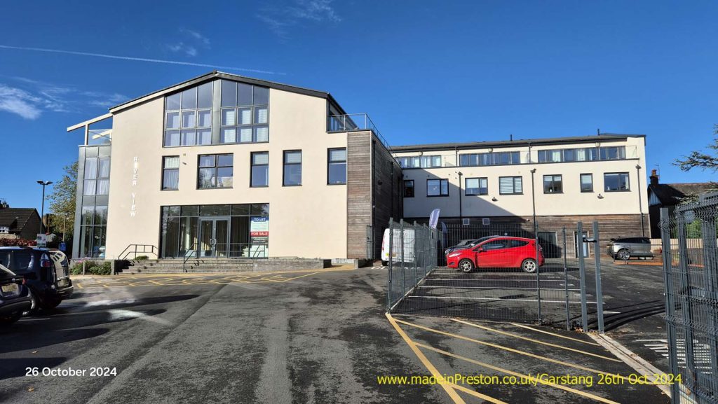
The new apartment block overlooking High Street Car Park and the river.
The River Wyre and the small park next to the car park. A well surfaced footpath goes up and down stream. Upstream leads to the Millenium Walk which ends with a small circle.
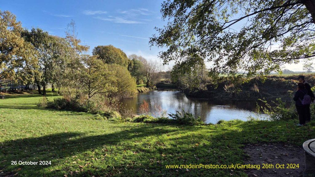
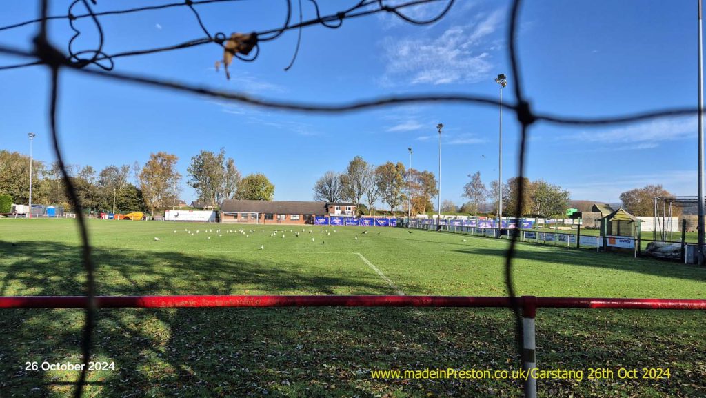
The football and the cricket ground next to the river.
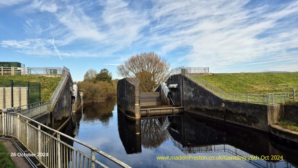
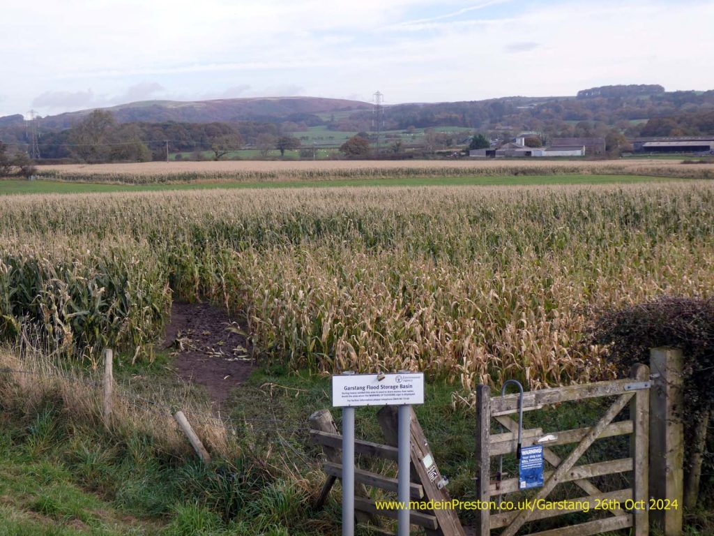
Flood defences. The gates come up to create a large holding area for storm water running off the hills so it doesn’t overwhelm St Michaels and the road near Great Eccleston. The rugby pitch is on the holding area and a large dyke is in front of the neighbouring houses.
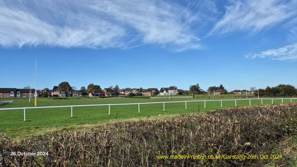
The Rugby Pitch is on the other side of the old railway line from the Cricket pitch.
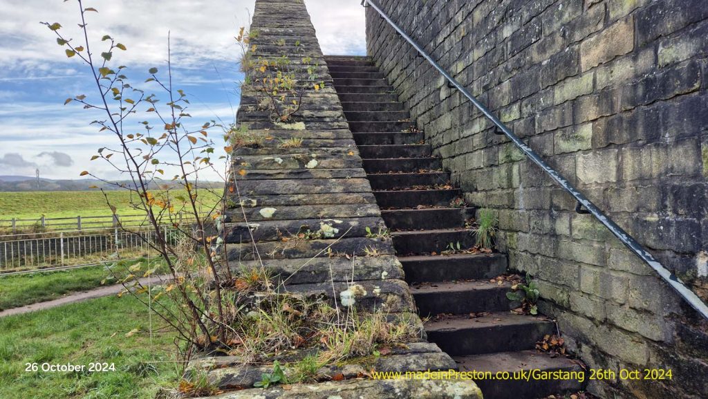
The steps from the riverside path to the old railway line bridge. The line went from the West Coast Main Line to Knott End with a station in Garstang.
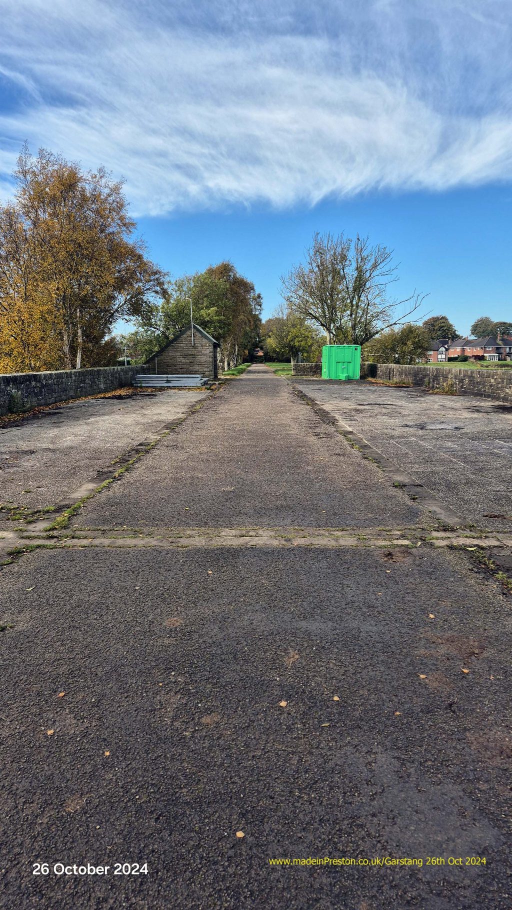
The old railway line to Knott End. Garstang Station was just at the end of this photo.
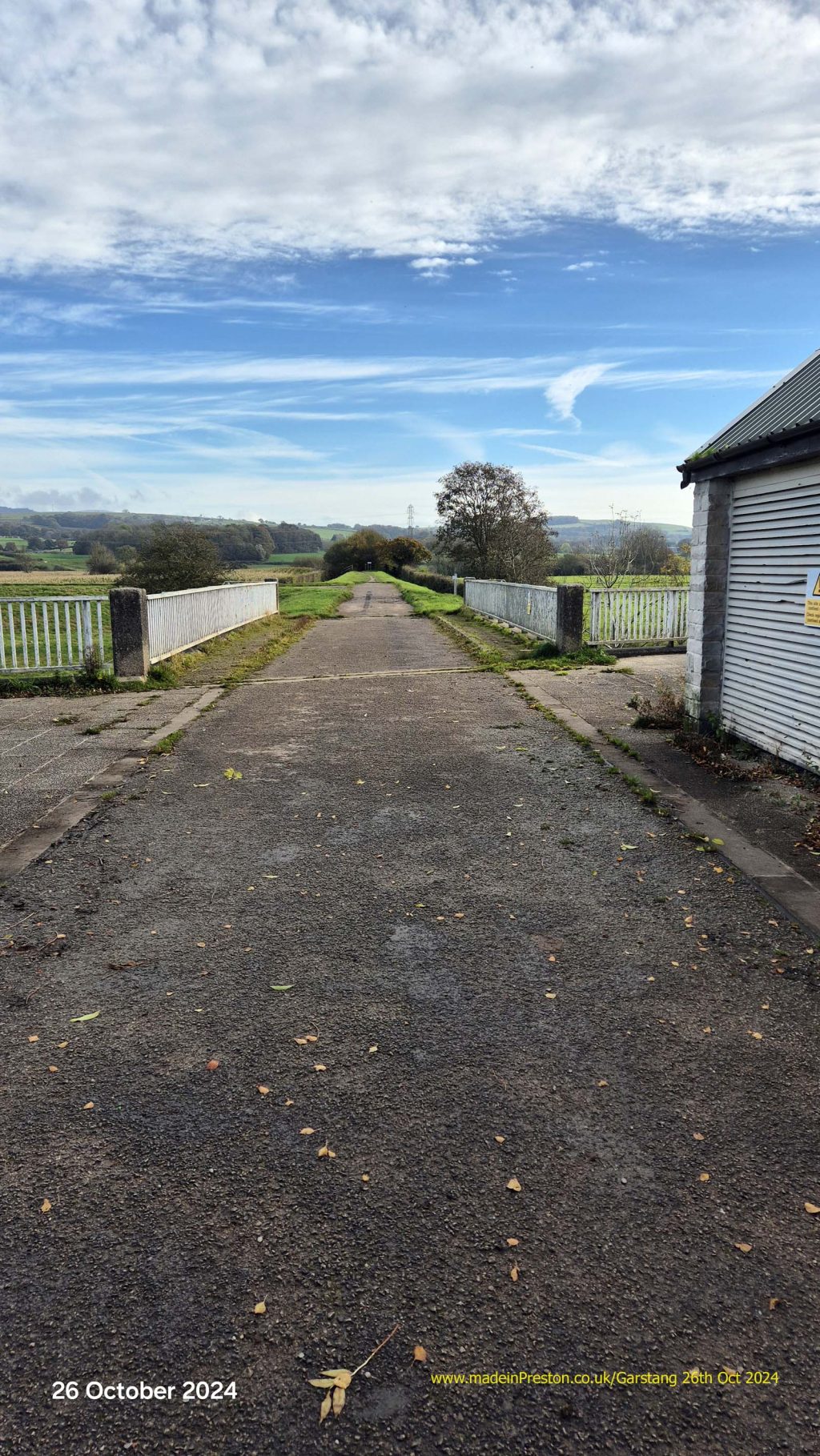
The line over the river towards the West Coast Main Line. There was a station called Garstand and Catterall near the junction.
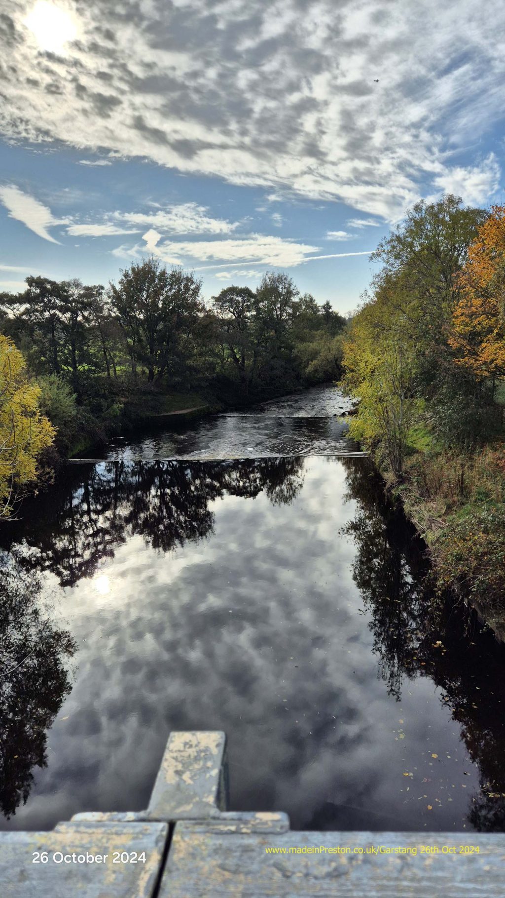
The River Wyre viewed downstream from the bridge.
The flood area on the east bank of the river.
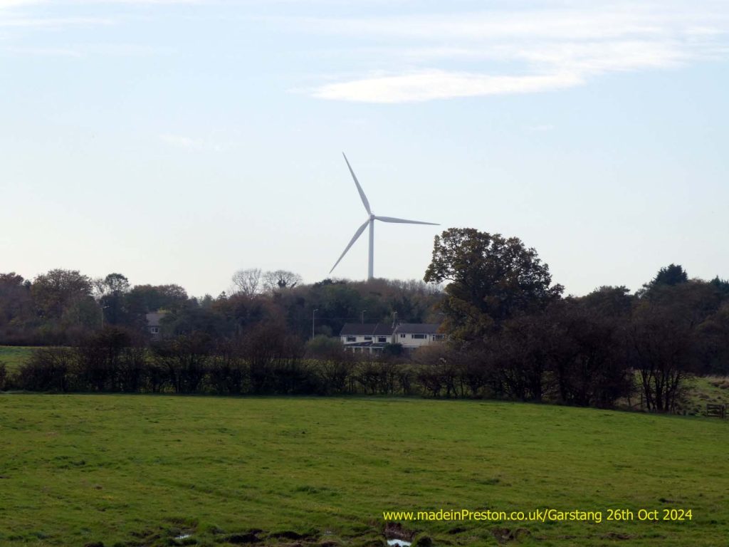
The Dewlay Cheese factory windmill is a local landmark.
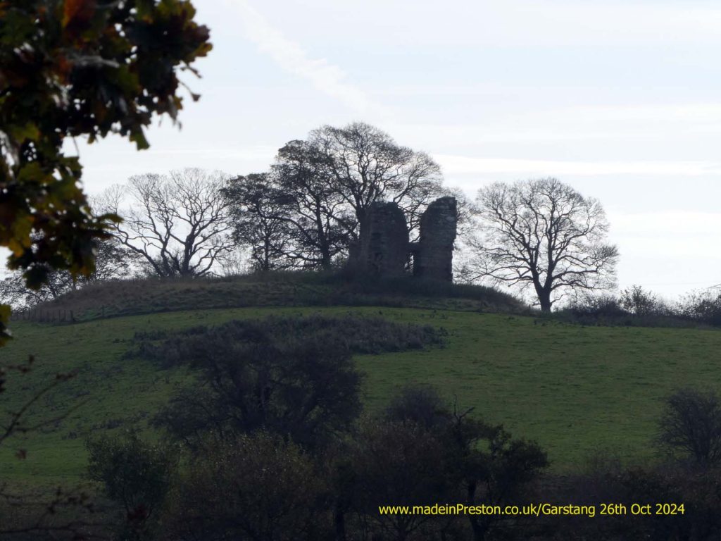
Greenhalgh Castle. Ruined in the Civil War 1645. A former defensive property of the Stanley Family, 1490, 1st Earl of Derby.
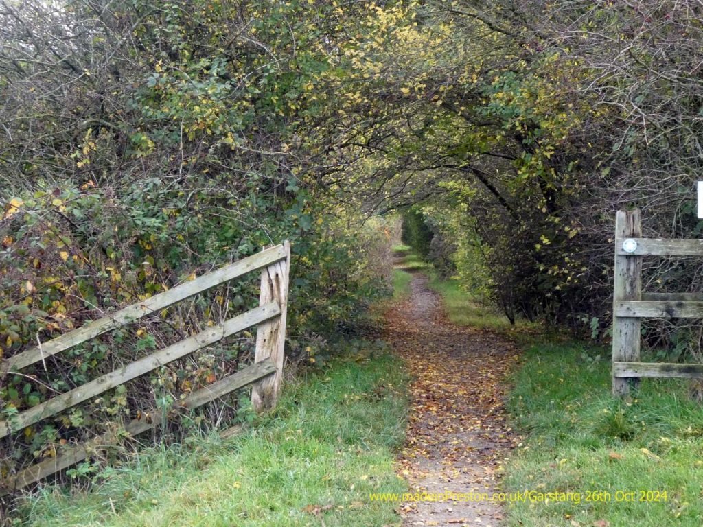
The path continues between fields.
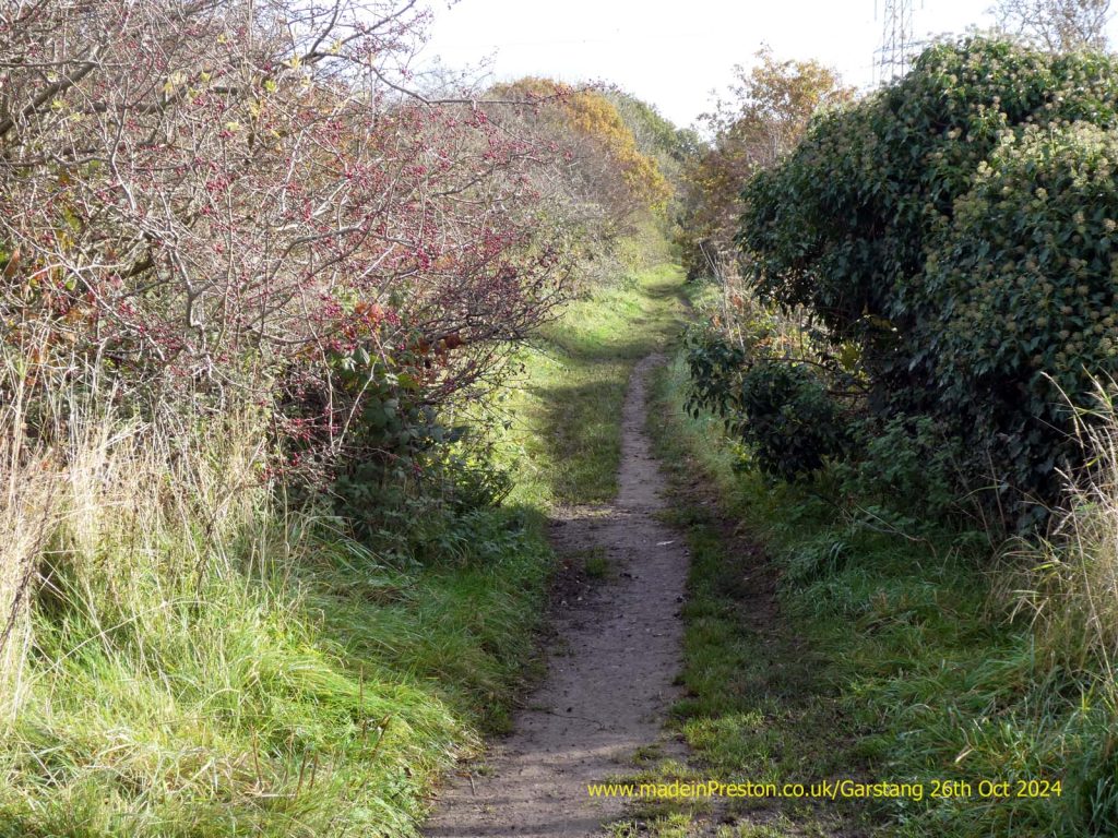
Most paths have a short stretch that spoils miles of good work.
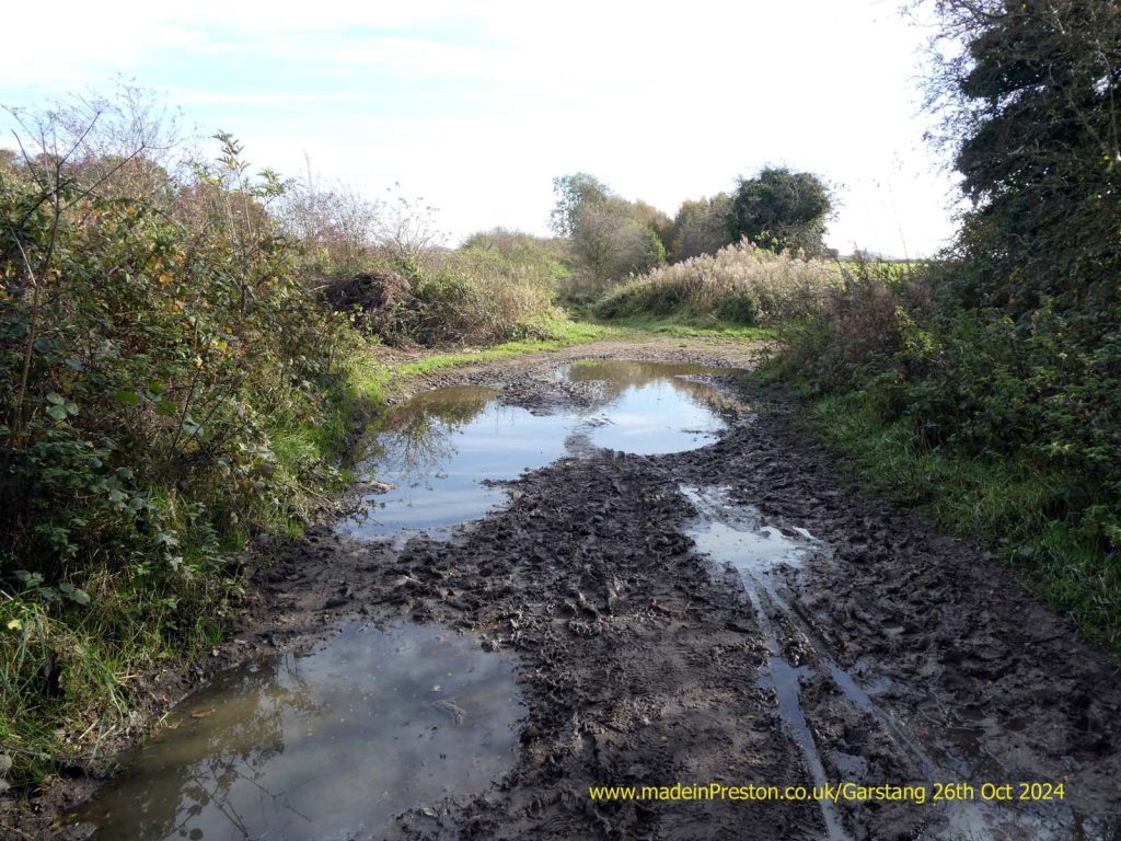
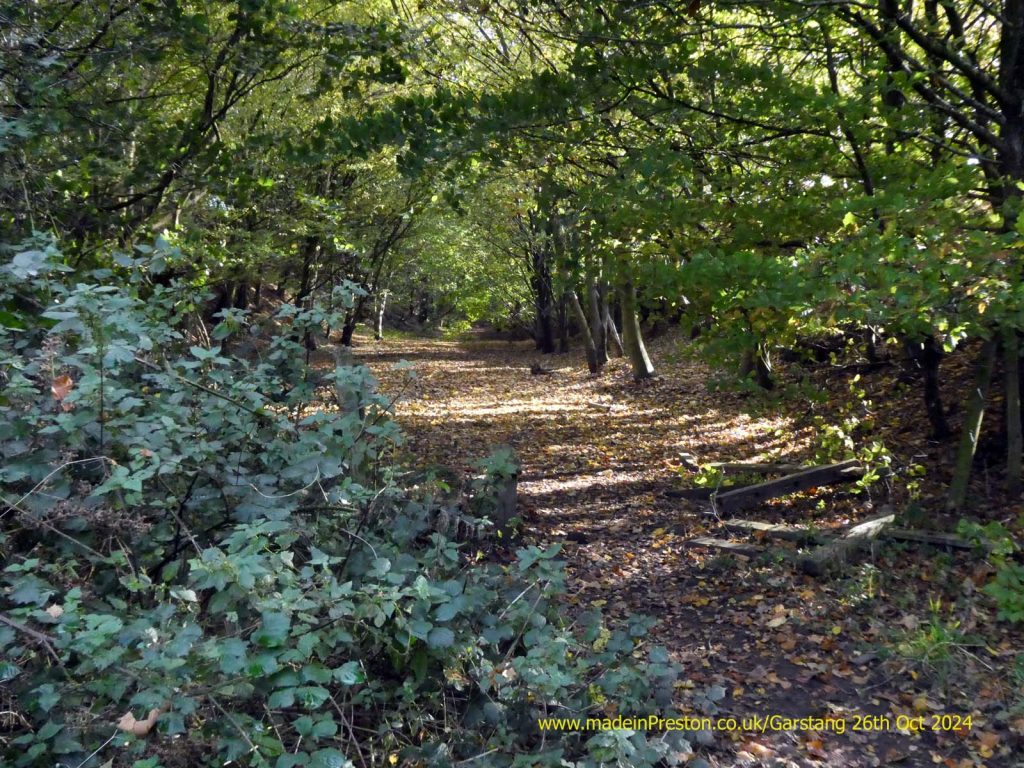
The path continues into the former railway cutting.
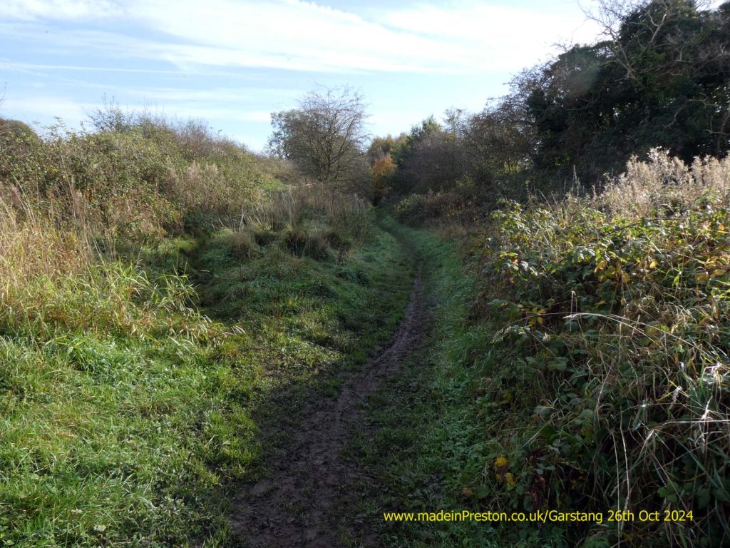
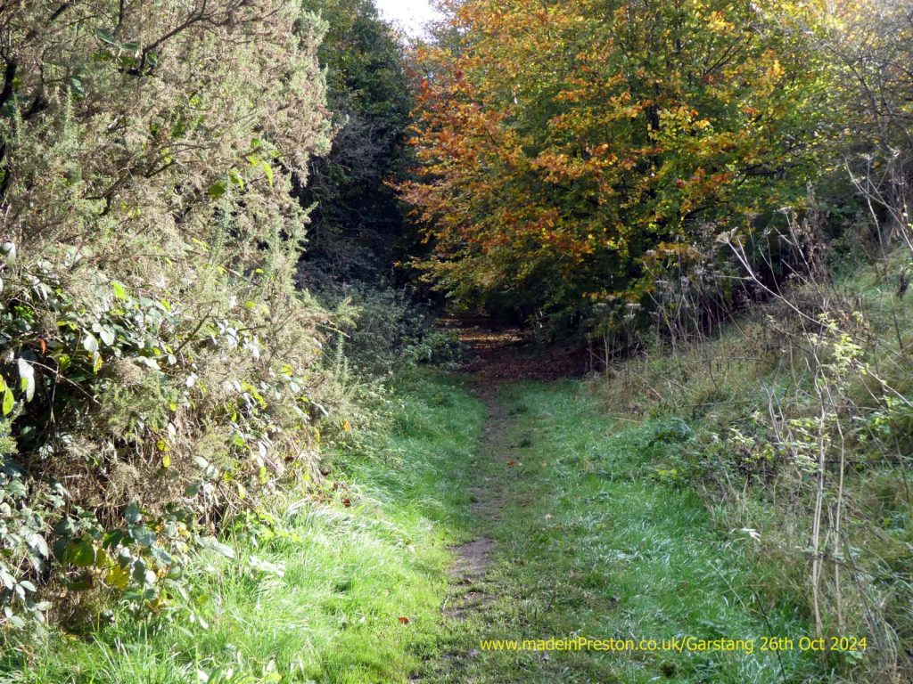
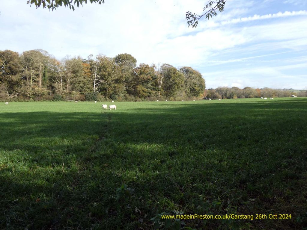
A decision whether to turn off the old railway line and walk across a field or to go along the track bed shown below.
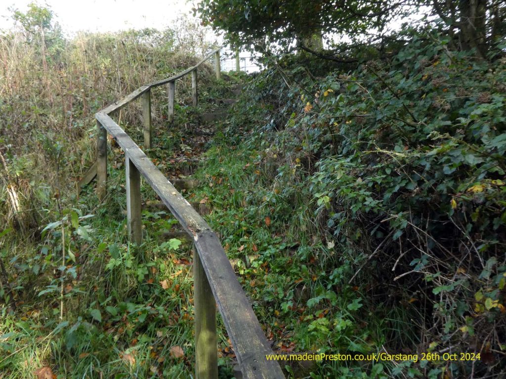
The former track bed.
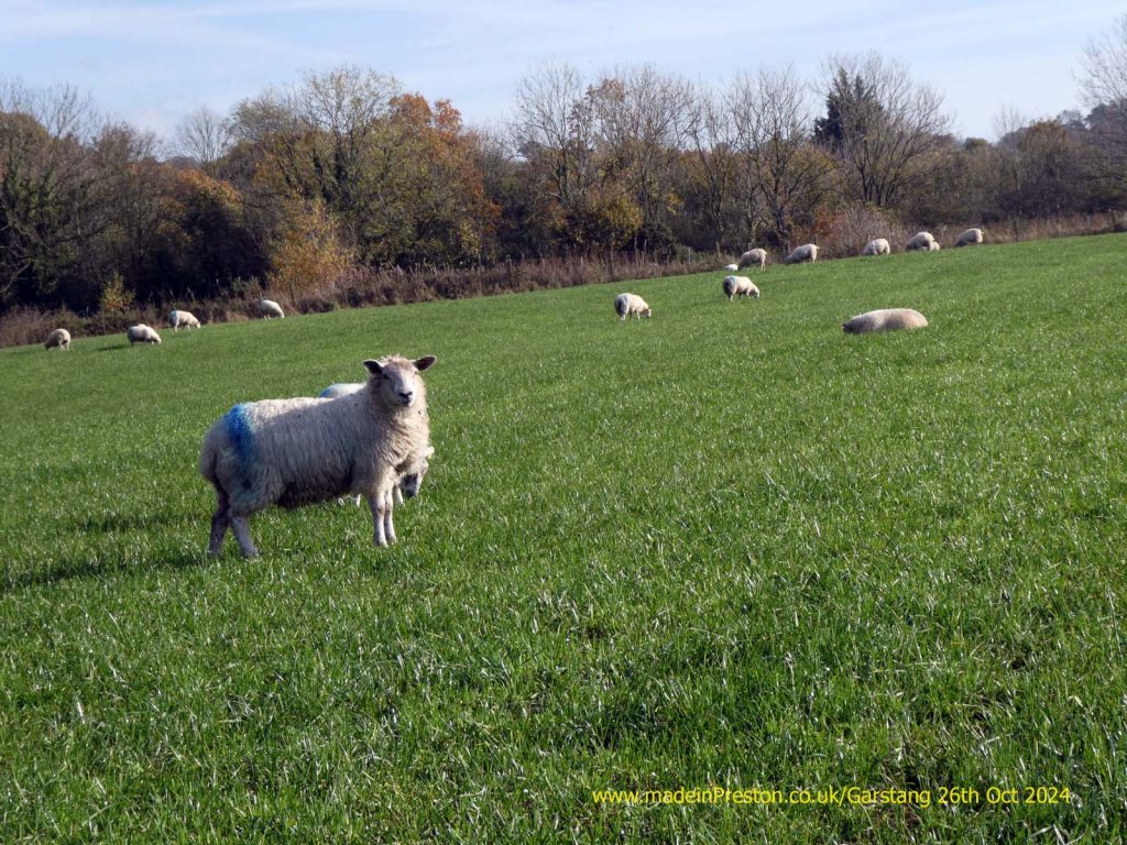
Crossing the field. One year its maize, next year its sheep.
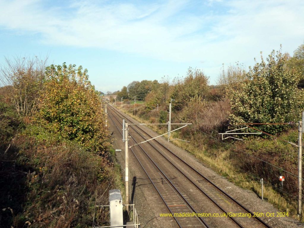
The West Coast Main Line.
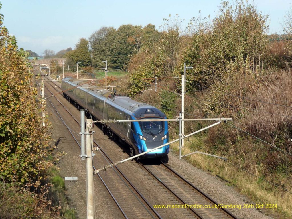
A Trans-Pennine Express heading south towards Preston, Manchester or Liverpool from Glasgow or Edinburgh.
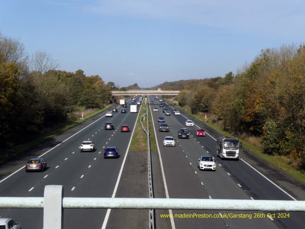
Next to the railway is the M6 motorway. The Lancaster Canal isn’t far away either.
Here’s a link to our webpage about Garstang which we note hasn’t been updated since 2013. http://www.madeinpreston.co.uk/1hrAway/Garstang.html
